

This release focuses on improvements to the new Cordel Connect log in screen as well as introducing the ability to compare ideal and measured ballast mesh files using the existing LiDAR viewer technology.
The team have made changes to the back end to improve performance as well as bug fixes, as we continue to improve the overall customer experience.
Core Product Updates
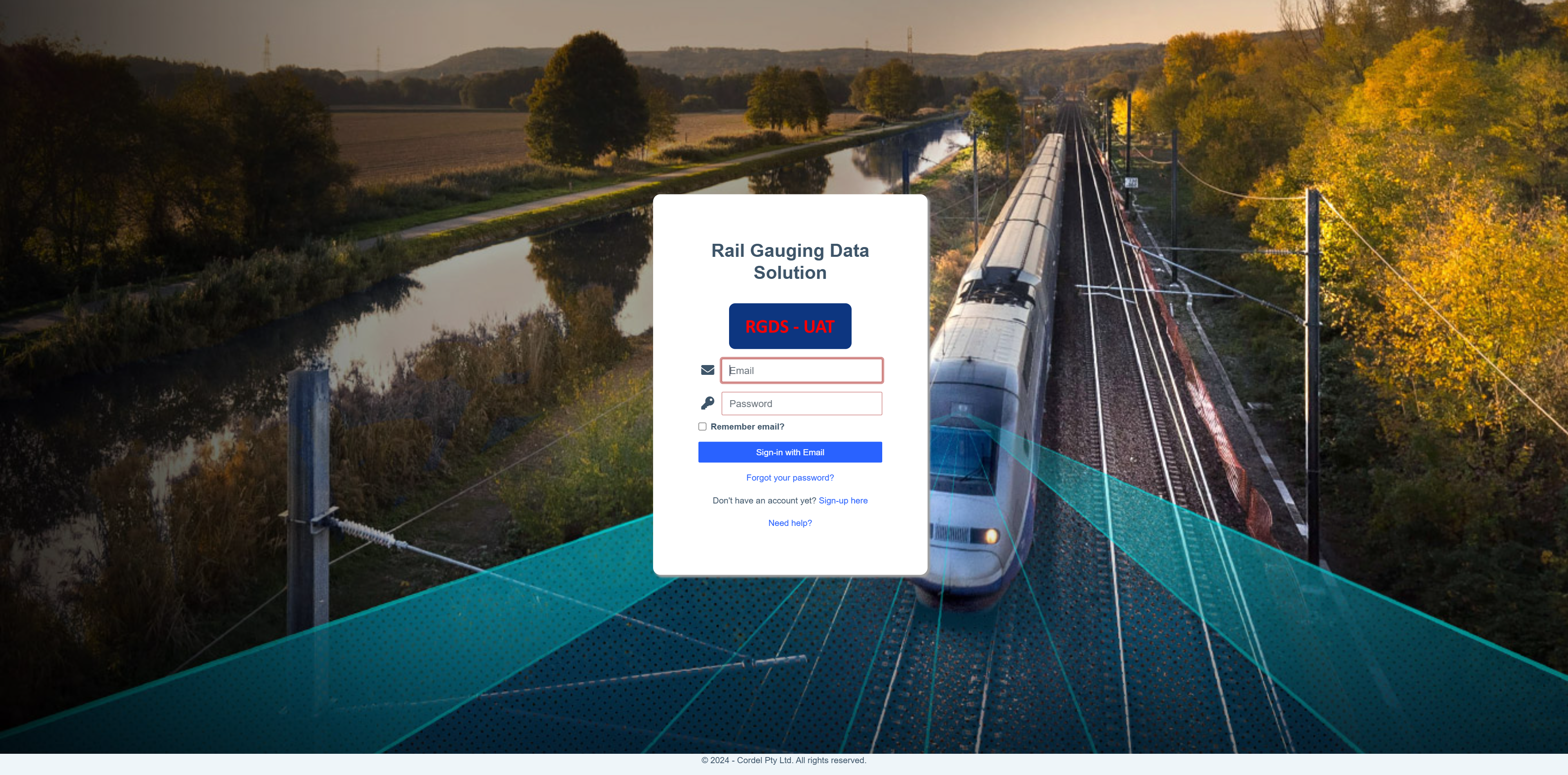
⭐ Feature Highlight: Improved Branded Sign In Experience Across Environments ⭐
Cordel connect
-
Cordel Connect now includes application branding (text and iconography) to avoid ambiguity between different environments (ie. UAT Environment vs Production Environment)
-
Users now have the ability to render ballast profiles (ideal and measured) in the LiDAR viewer
-
Properties (like colour and opacity) can be adjusted in real-time
-
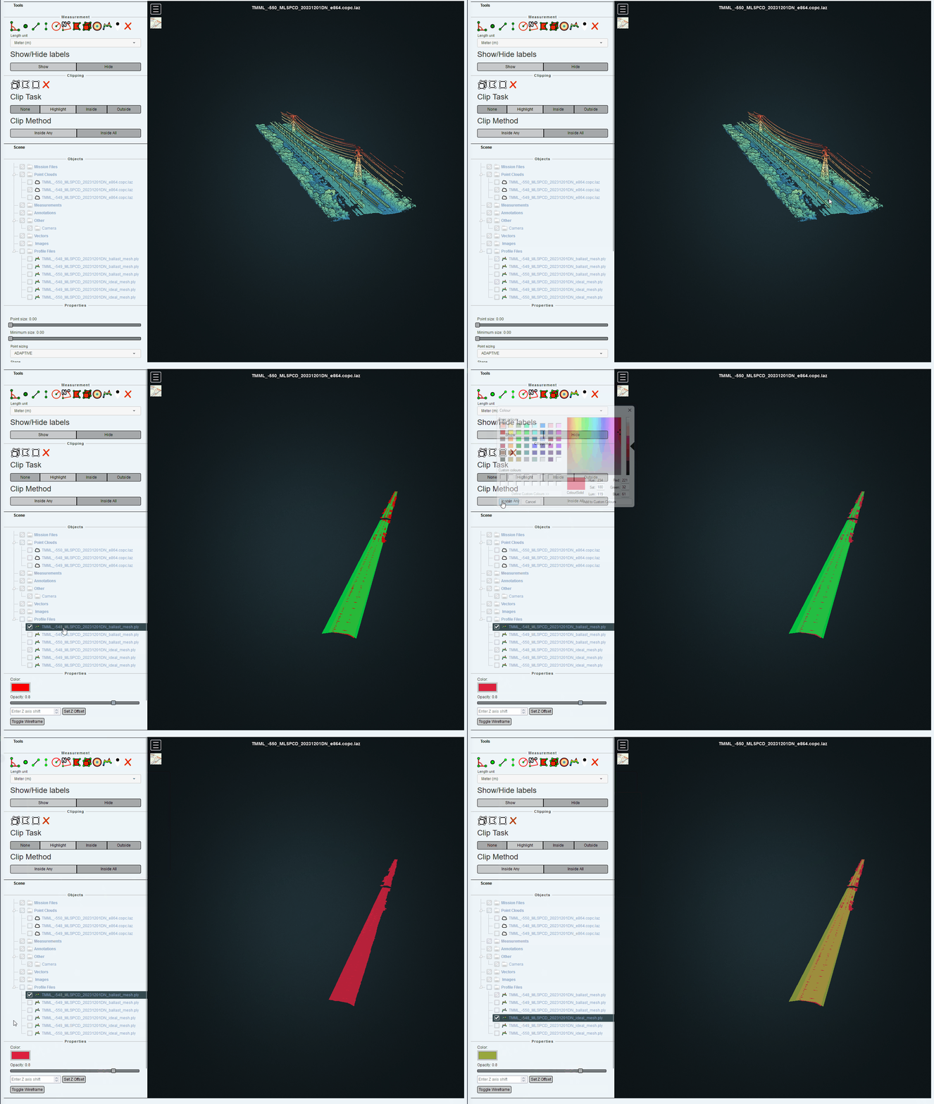
You can find out more about how to utilise LiDAR artifacts in Cordel Connect here.
-
Improved database performance
-
Download progress is now displayed for more files
-
A default topographic view of a LiDAR dataset is now displayed when a bounding box is clicked on the mission page
-
Processing carts can now be removed from the system by users with the appropriate permissions
clearance/gauging
-
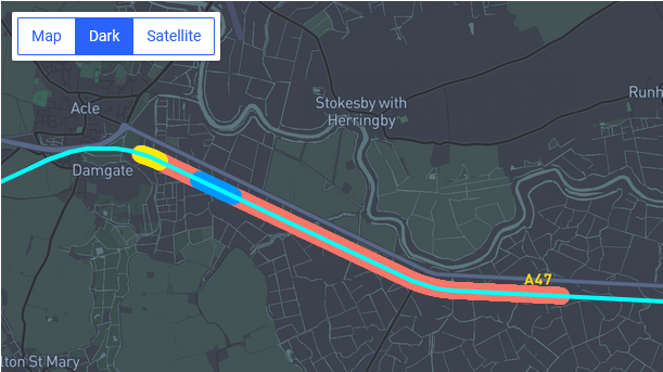
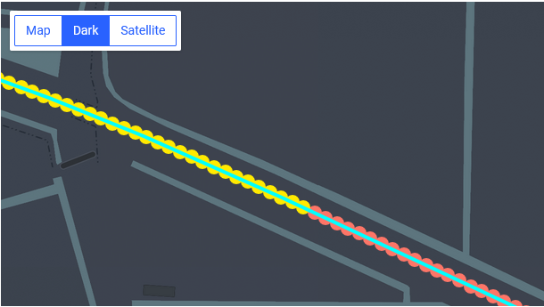
The survey map now has consistent marker shapes and styles to align with other maps in the system
-
Selected slices are displayed in a shade of yellow
-
Slices assigned to a structure are displayed in a shade of blue
-
Unassigned and unselected slices are displayed in a shade of red
-
-
Cordel Connect now displays more slices / structures on the survey map
-
Users with the appropriate permissions can add comments when uploading reference data files, and comments can be viewed for those reference data files
-
The keyboard shortcut ‘Ctrl+Delete’ can now be used on the survey editor page to un-assign all structures in the current selection
Feature Updates
Features may or may not be available to you depending on the configuration of your Cordel Connect account. Please contact your account manager for more information.
track intervals
-
When there is a source dataset available for the selected survey or slice, the page now displays the "View Dataset" navigation button
-
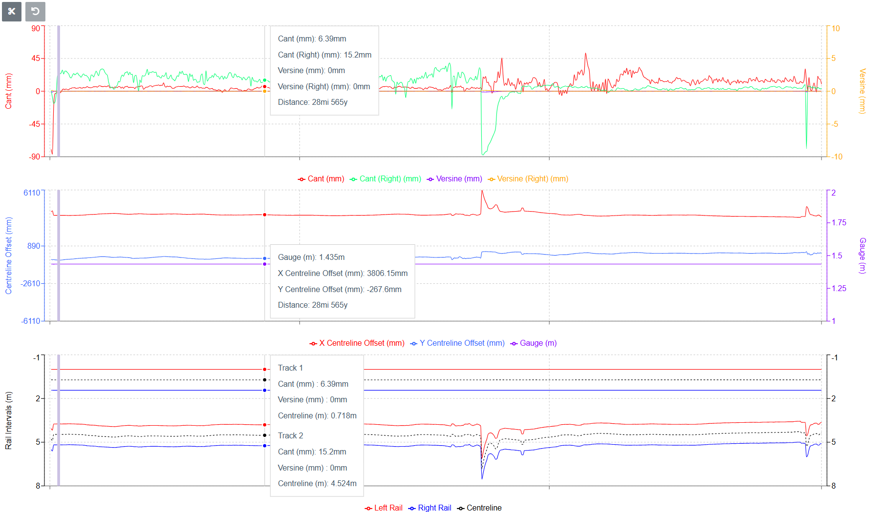
A new graph has been added to the track intervals survey edit page, which presents the two tracks visually - from the top down perspective:
🐞 Fixes 🐞
Cordel Connect
-
Fixes a formatting issue when exporting CSV content that contains lists of data
vegetation
-
Fixes units for distances in vegetation reports on the mission page
clearance/gauging
-
None
The team have made changes to the back end to improve performance as well as bug fixes, as we continue to improve the overall customer experience.