

In this release our Web team has focused on supporting COPC files in the Potree Viewer and enabling Gauging/Clearance users to select custom colours for points in the Slice Viewer. There was also a focus on improving Gauging/Clearance error messages to provide users with more information when a slice fails QA. As usual, there are bug fixes included in this version, as we continue to improve the overall customer experience.
Core Product Updates
⭐ Feature Highlight: COPC file format is now supported ⭐
Cordel Connect
Cloud Optimised Point Cloud (COPC) files are LAZ/LAS files that include oct-tree metadata for faster indexing. The LiDAR Viewer now has direct support for these file types.
What you need to know:
~ A COPC file is a LAZ 1.4 file that stores point data organized in a clustered octree. It contains a VLR that describes the octree organization of data that are stored in LAZ 1.4 chunks.
~ COPC files are supported in the LiDAR Viewer through Azure pre-signed URLs or Amazon pre-signed URLs.
Other Core Updates
CLEARANCES/GAUGING
-
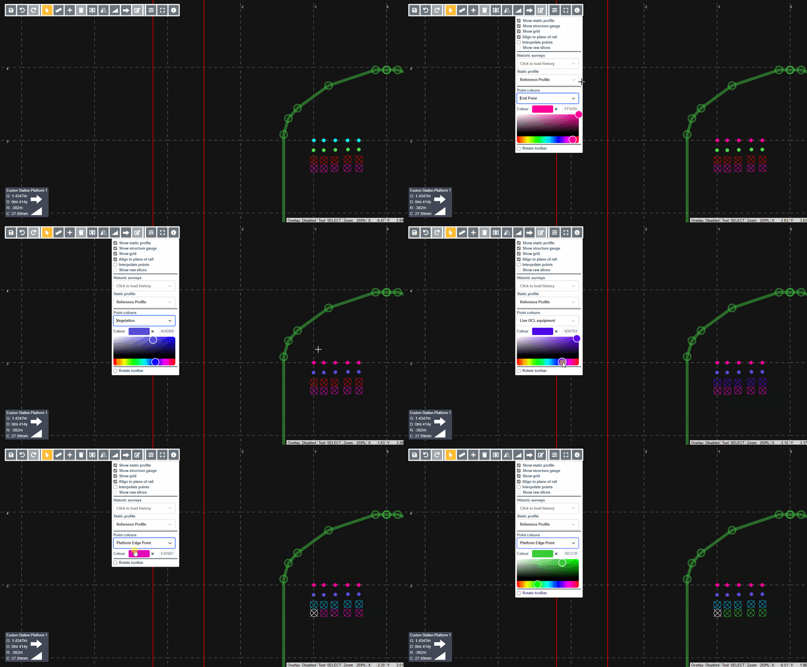
Customise point colours in slice editor
Users who are editing bulk survey data are now able to change the colour of point types / attributes, and these changes will be retained over sessions. This allows users to use their preferred colours for different point types without those preferences affecting other users.
To access the colour picker, simply select the filter icon to edit colour preferences.

These colour preferences are then saved across browser sessions and are stored through local browser storage.
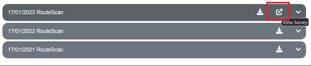
Users can now navigate directly to a survey from the structure page
-
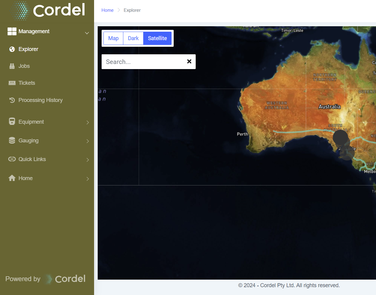
UAT Environments now display a different menu colour for easy differentiation
rgds
-
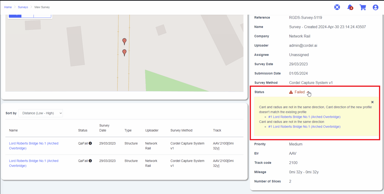
We have improved the error messages in the Slice Editor
-
For any slices in a ‘QA Fail’ status for the currently loaded list of slices, the system will now show the reason for the latest QA failure.
-
The Survey Viewer page also includes an information icon and title text when a slice is in QA Fail status.
-
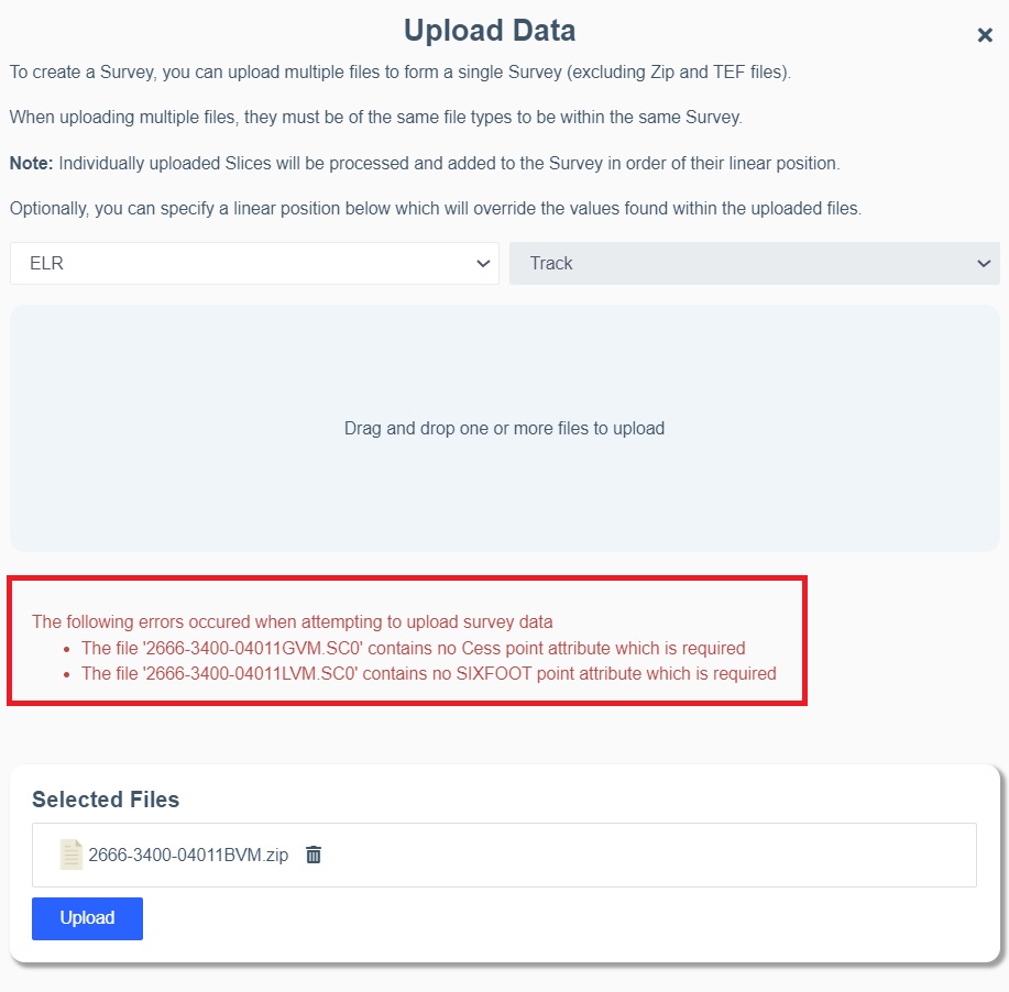
SC* files missing required rail coordinates will now be rejected
-
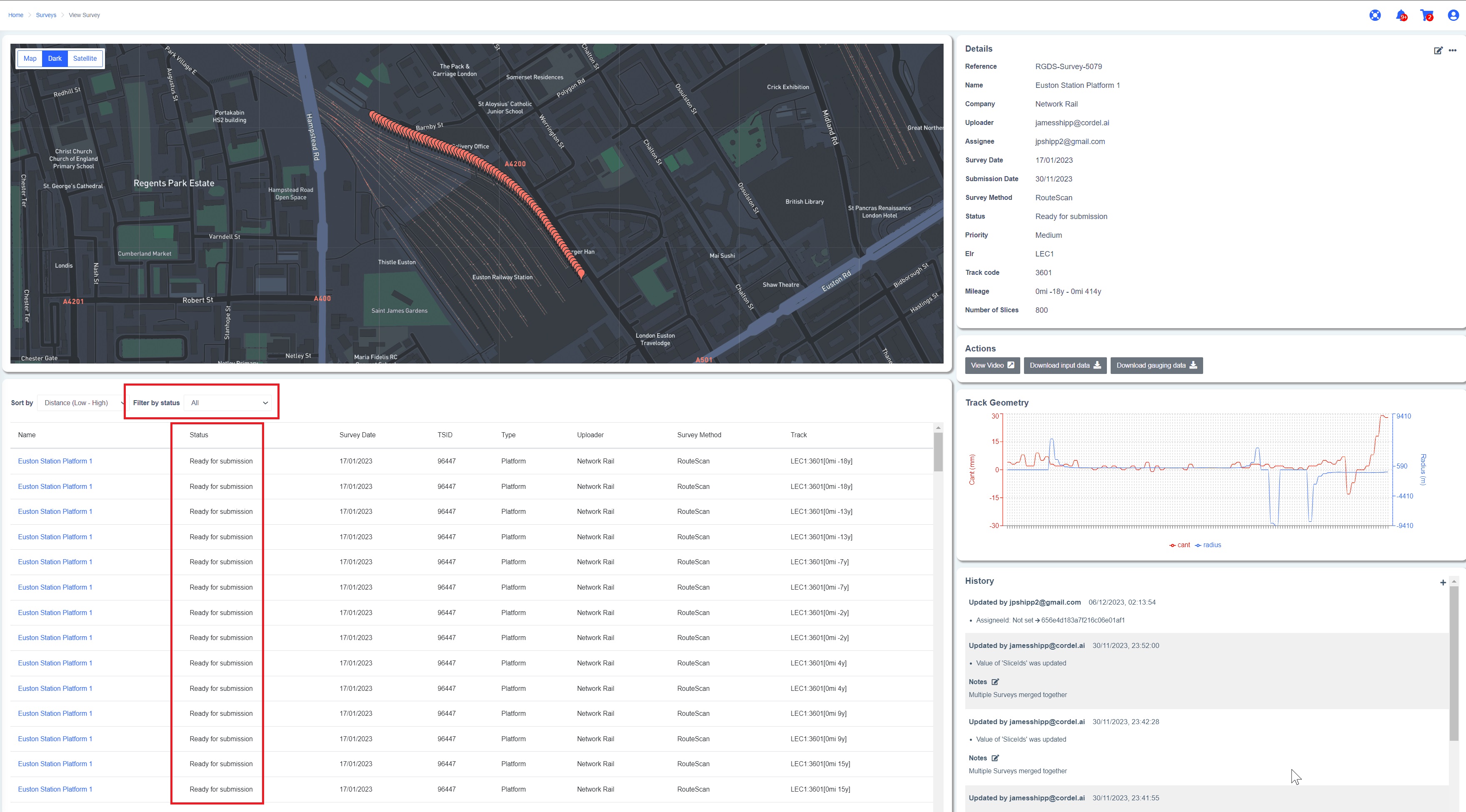
Slices can now be filtered by status on the Survey Viewer page
CLEARANCE/GAUGING
🐞 Fixes 🐞
-
Fixed an issue with slice ordering when unassigning original slices from structures.
-
Fixed an issue with the start map marker being rendered on the last path of a path.
-
Fixed an issue that caused maps to display a default world view rather than areas of interest.
-
Fixed an issue that caused structure assignment to be visually undone after clicking the back button in the browser.