Layers
What are Layers?
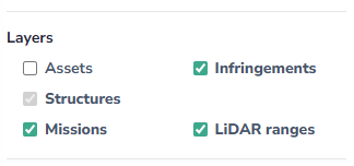
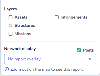
Layers represent data that can be displayed or hidden on the Explorer map. The layers available will depend on the configuration of Cordel Connect, as well as the zoom level the user is at on the map.
What Layers are available in Cordel Connect?
Assets
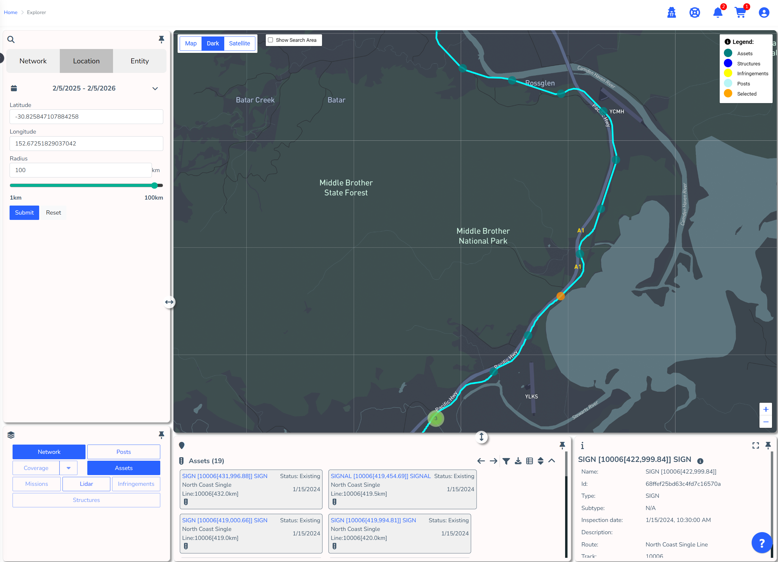
Physical entities found along the corridor such as signs, turnouts, signals, switches etc.
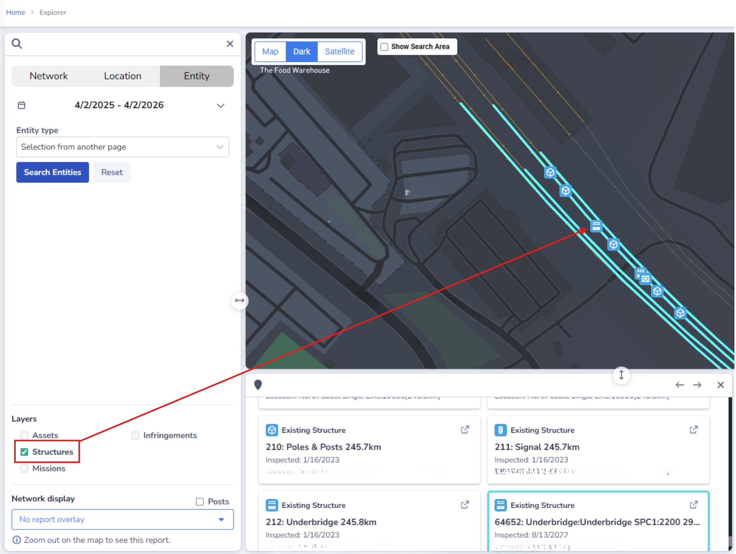
Structures
Permanent physical structures located within the network, typically larger assets such as bridges, tunnels etc.
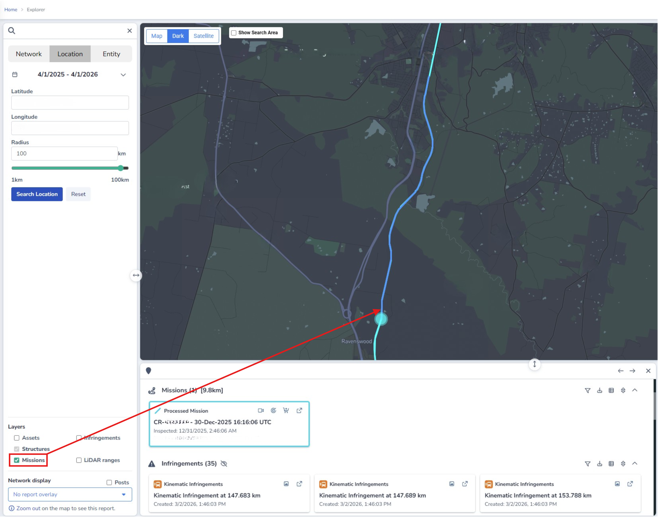
Missions
This layer displays missions, which are segments of captured data (usually of approximately 15 minutes). Missions are represented as a blue path, known as a 'mission path'.
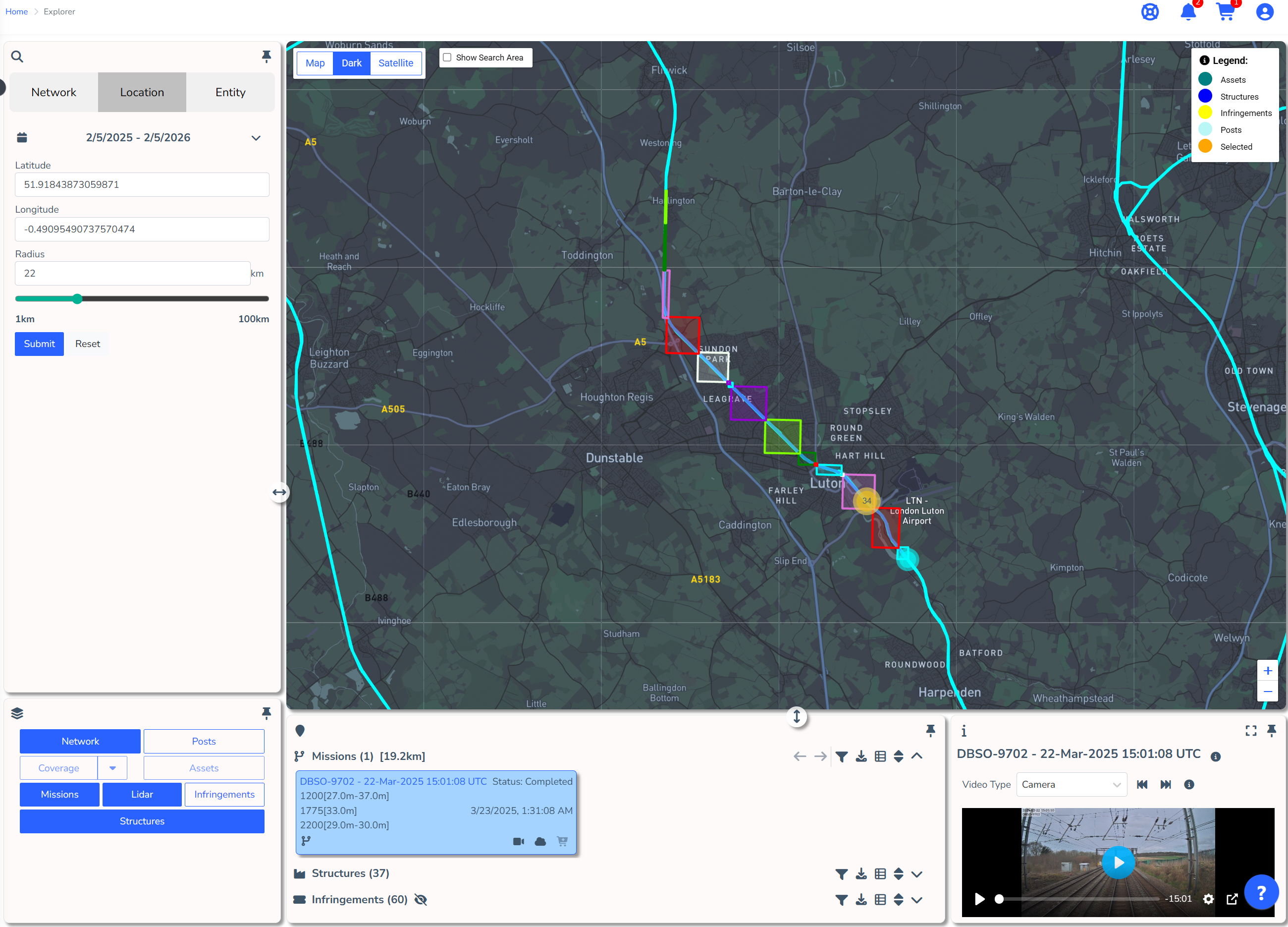
Missions: LiDAR Ranges
This layer shows users where the bounding boxes are along each mission. Each bounding box represents a single point cloud which can be viewed in the Cordel Connect LiDAR Viewer.
The LiDAR Ranges Layer is only shown when Missions are toggled on.
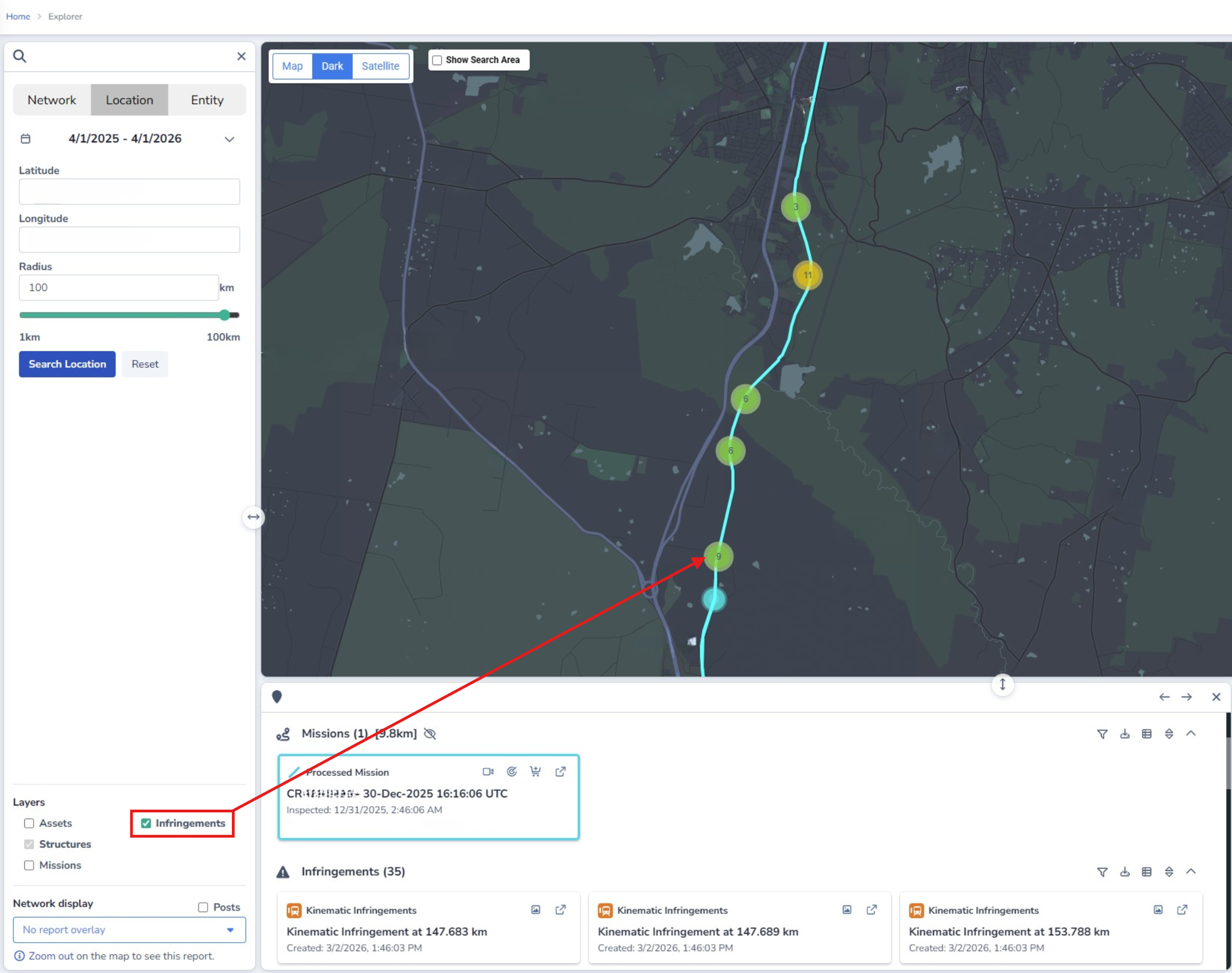
Infringements
An infringement alerts users to an area of track that may not be compliant. Infringement types depend on the Cordel solutions provided, for example kinematic, vegetation, ballast etc. Infringements are grouped together as clusters at higher zoom levels.
Network Display
Coverage
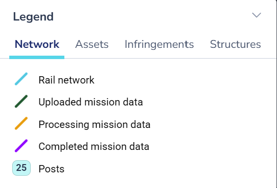
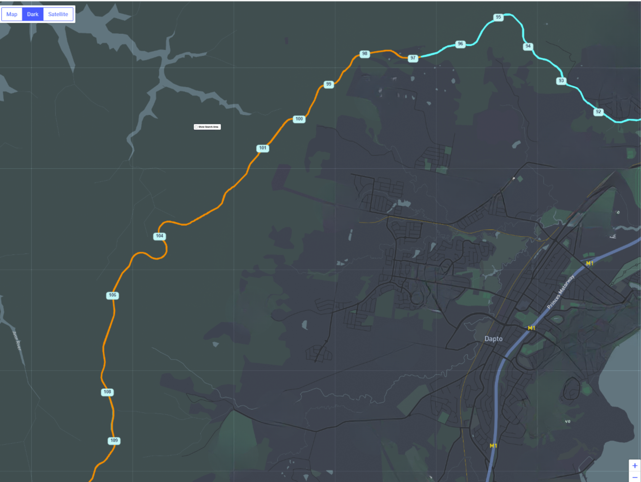
A colour-coded path which represents a combined display of all missions captured, typically in the last 12 months (though this is configurable). The colour of the coverage path reflects the status of the missions in any given area.
-
Rail network: A cyan path that represents any area of track managed by your organisation.
-
Uploaded: A dark green path that indicates data has been captured for this section — but further processing has not been requested at this stage.
-
Processing: A yellow path that indicates data has been captured for this section — and further processing has been requested.
-
Completed: A purple path that indicates data has been captured and processed for this section. Payload data is available for this segment of track.
Filtering coverage data
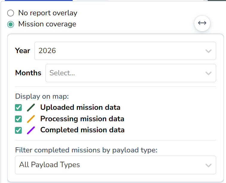
Coverage data can be filtered using the controls in the coverage panel.
-
Year/Month: Filter coverage to show data from one or more months within the same year.
-
Mission status: Filter coverage paths by mission status (Uploaded, Processing, or Completed).
-
Filter completed missions by payload type: Filter coverage to show data that includes certain payload data type/s.
Note: Payload data type filtering is only available for completed missions. Status and Payload Type filters operate independently using 'and' logic.
Posts
Kilometer/Mile Posts are shown on Explorer when they have been provided to Cordel with the client Network Model. These assist rail networks to navigate their network and are often employed as geographic reference by Cordel Connect users.
GeoPackage Layers
Pre-built GeoPackage (.GPKG) files can be displayed as layers on the Explorer map. These files are uploaded and configured by Cordel Engineering.
To display a GeoPackage layer:
-
Open the Layers panel on the Explorer map.
-
Locate the GeoPackage layer in the layer list.
-
Toggle the layer on to display it on the map.
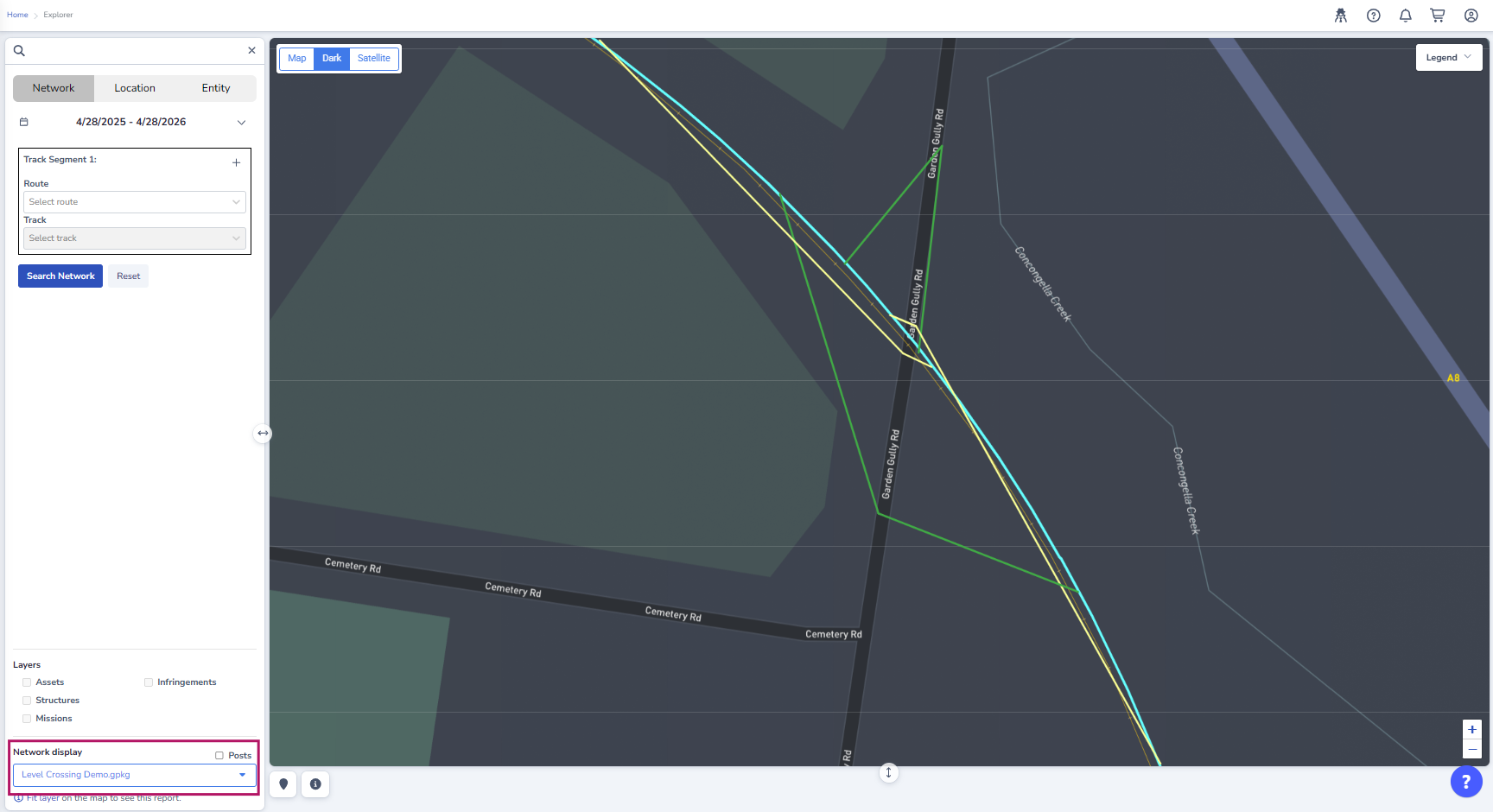
GeoPackage layers are only available if your organisation has had GPKG files uploaded and configured by Cordel Engineering. If you do not see a GeoPackage layer, contact your Cordel account manager.
2990b50a-7775-4f9b-8352-316018802ff8Search Results
What are Search Results?
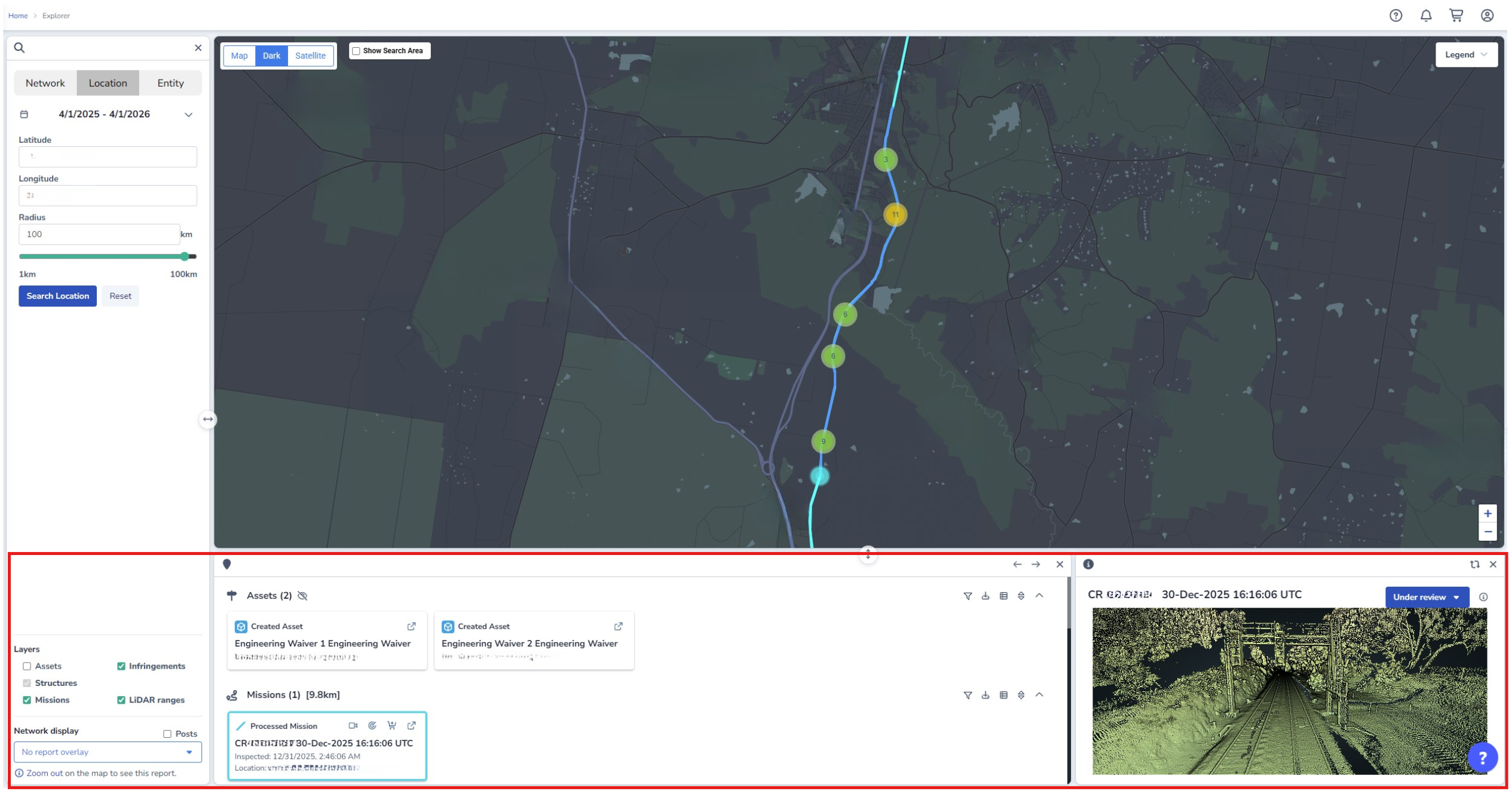
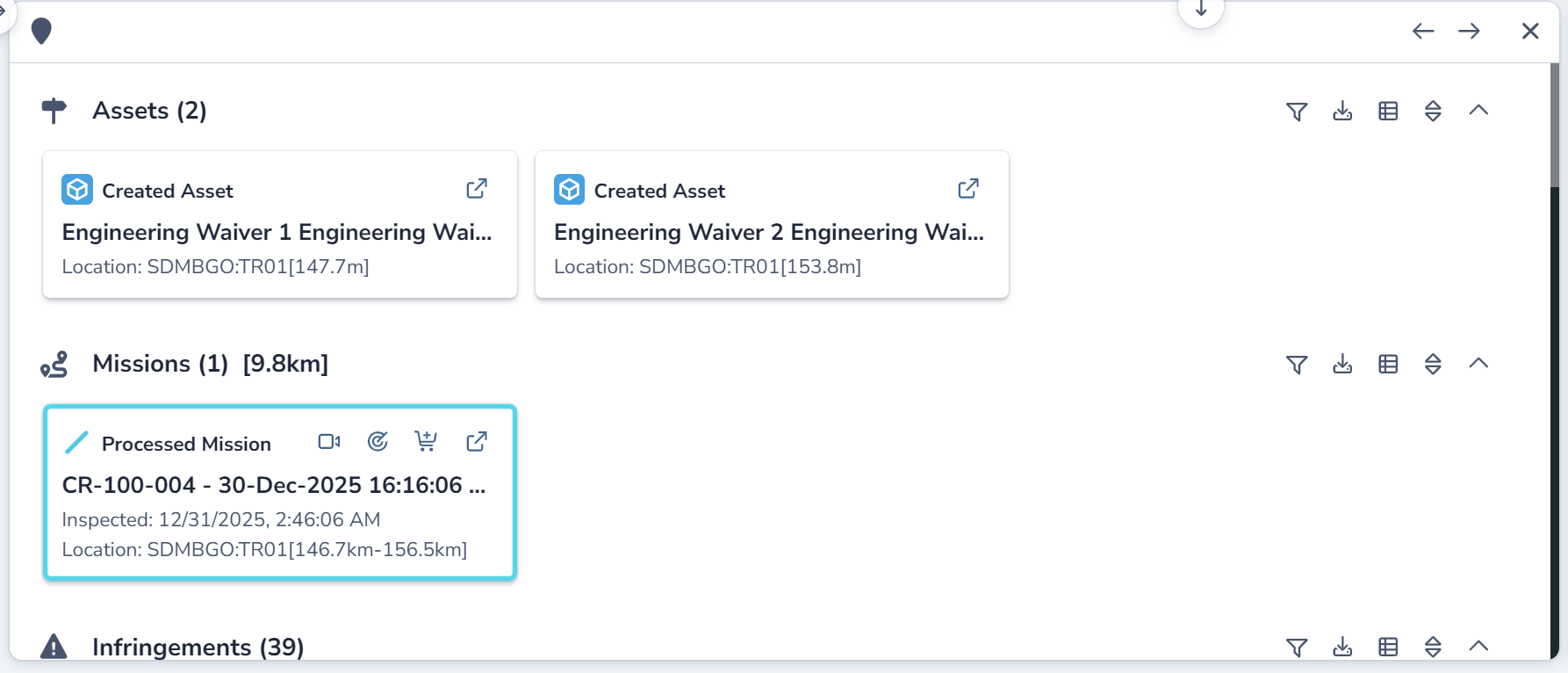
The search results in Explorer are presented as a collection of 'cards', where each card represents one search result. The cards are grouped by entity type, including missions, assets, structures and infringements (dependent on configuration).
Users can add missions to the cart for further processing using the 87e0fcf9-17ea-419d-80c3-ccebffa5796b (add to cart) icon; or preview information (such as LiDAR point clouds, infringement cross-sections or video footage) using the relevant icons shown on each card.
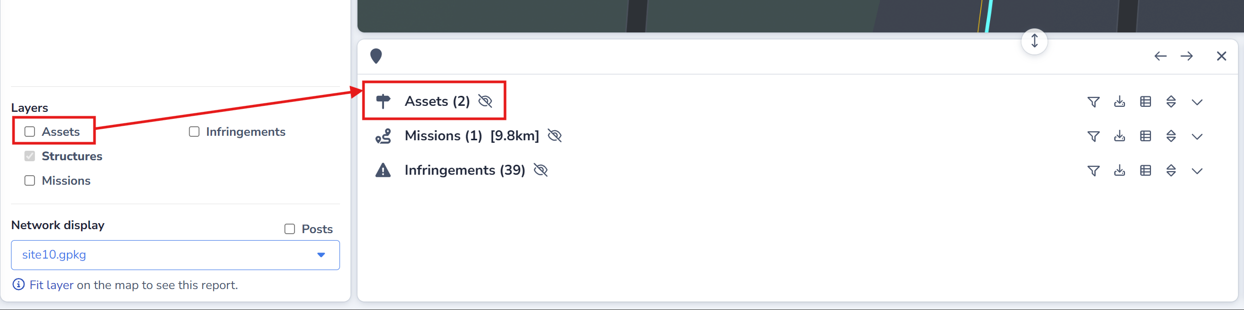
The 'not visible' icon 8fbc3f4d-c4cf-45fd-974e-9b1b275ebff6 is displayed in the search results section against entities that have their layer toggled off - but have search results available.
How to filter and sort search results
Users are able to filter 6da8316d-11a2-47d9-91d6-586aa4f22a39 or sort f9d592d7-ccb5-41f1-b72c-8251c71a1e2b search results using the relevant icons shown against the entity name in the Search Results area.
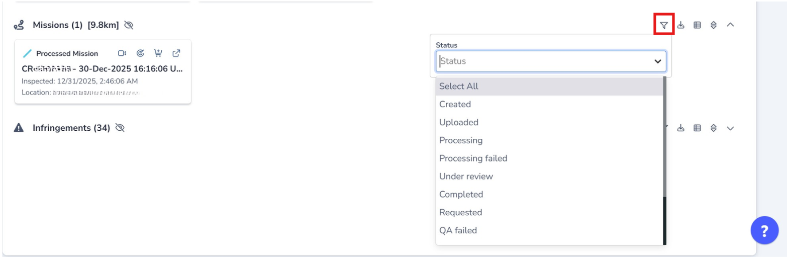
The filtering options and sorting options available are relevant to the entity type selected.
How to export search results
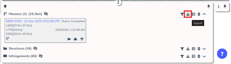
Users are able to export Explorer search results as either a .CSV (Comma Separated Values) file or a .GPKG (GeoPackage) file using the image-20260106-021112.png 'Export' icon in the header of the entity type.

How to view search results as a list
Users can view search results on the corresponding tabular Search pages using the image-20260121-024740.png 'list' icon.

Transitioning entities from search results
Users with the appropriate permissions can transition entities through workflow states directly from the Explorer search results — without opening the entity's detail page.
For example, infringements can be moved from Pending to Approved or Rejected status directly from the search results card.
To transition an entity:
-
Locate the entity card in the Explorer search results.
-
Use the status control on the card to select the new state.
This functionality is permission-dependent. If you do not see state transition controls on a card, contact your administrator to confirm your permissions.
434d900b-124e-444b-8524-5ee813b510d2 Preview Information
Visual information that corresponds to the selected search result card is displayed in this area. The visual information shown here depends on the type of search result selected, but commonly includes LiDAR Point Cloud, Video or Cross-Sections.
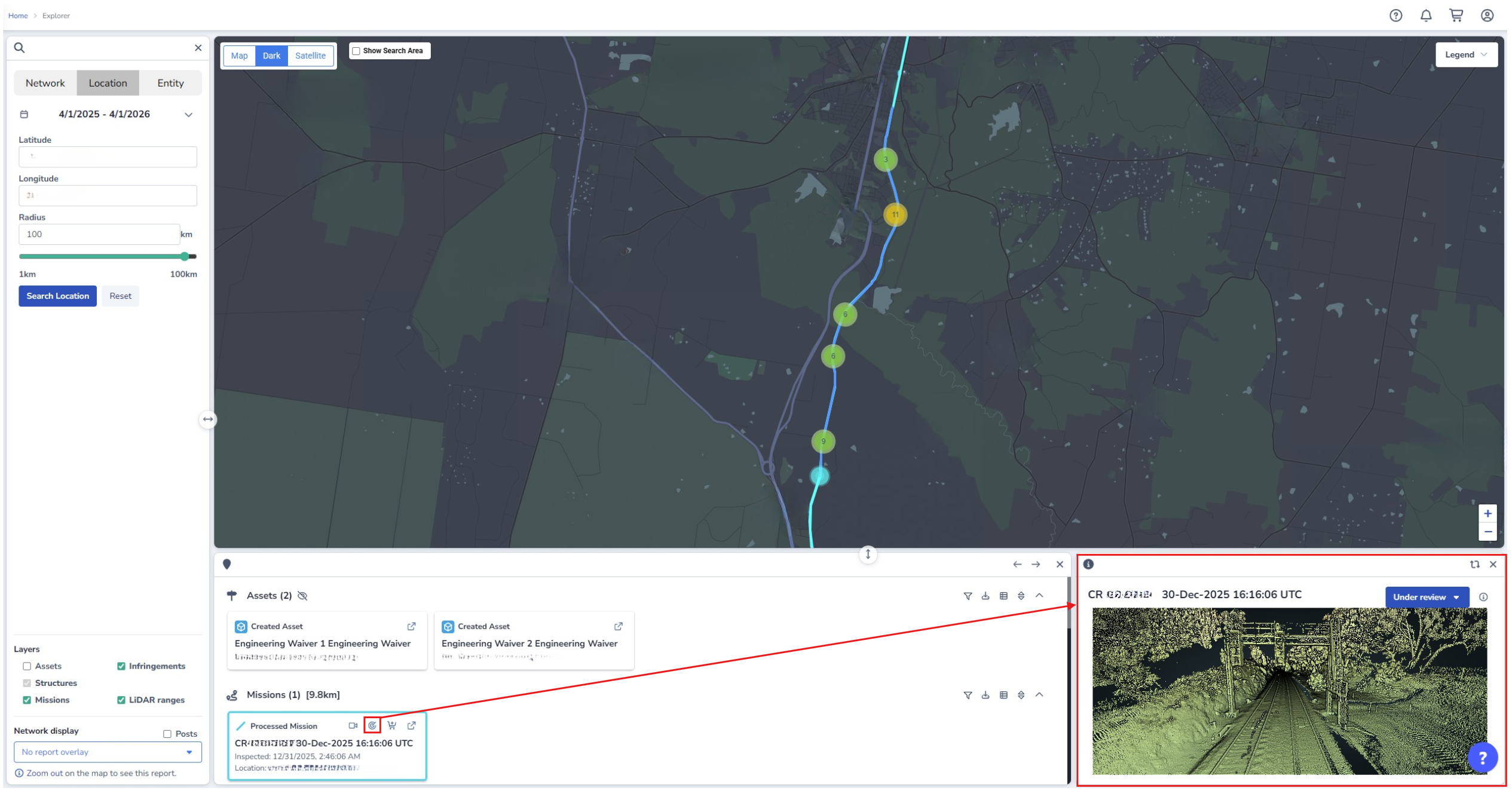
How to change what is displayed in the hero section of Explorer
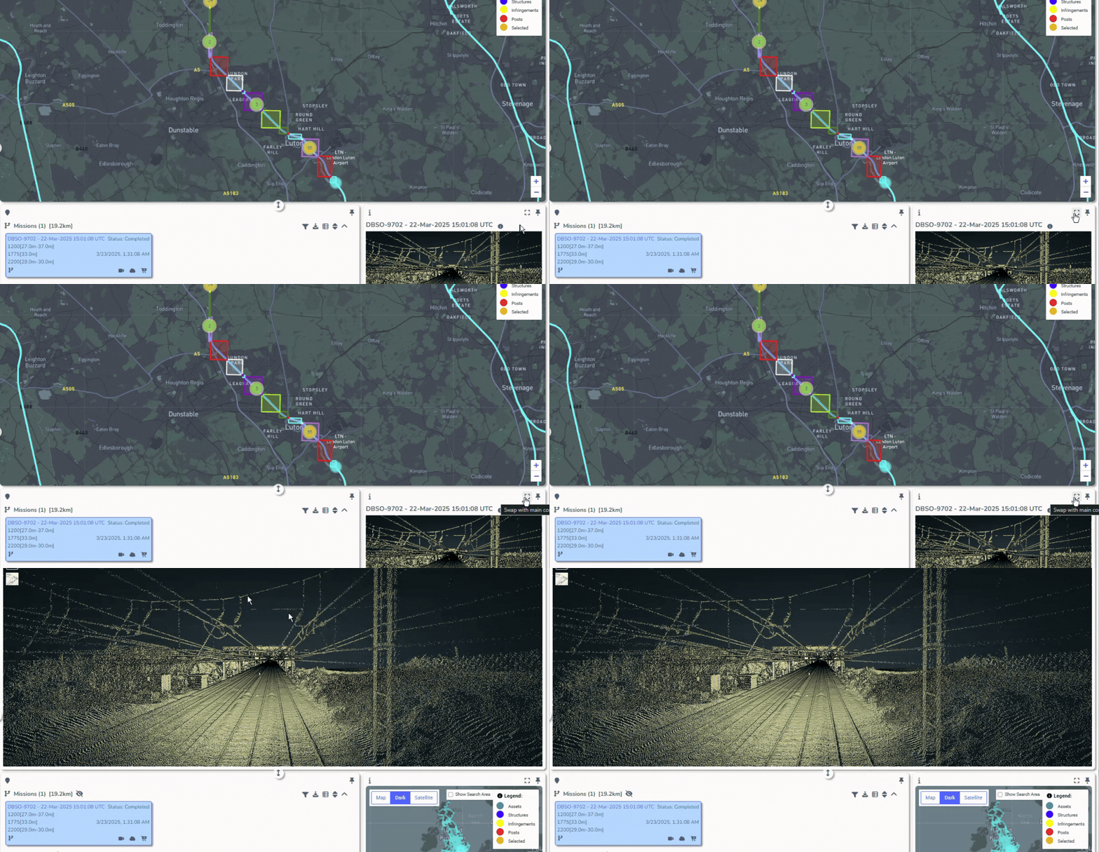
Users are able to view the visual information shown in the Preview Information window in full screen mode using the (full screen) icon. This function swaps the Explorer map for the information currently displayed in the Preview Information window.