

Locate the relevant missions
Find the mission or missions you wish to download data for. Typically, users search for missions on the Mission search page or using the search functionality on the Explorer page.
View the payload data available in mission viewer
Open the mission/s in mission viewer and review what Payload Data is available. Click the chevrons to expand each Payload Data category.
Note: Missions that have not yet been processed will only show raw data available for download.
Processed missions contain reports and processed data for each Cordel solution.
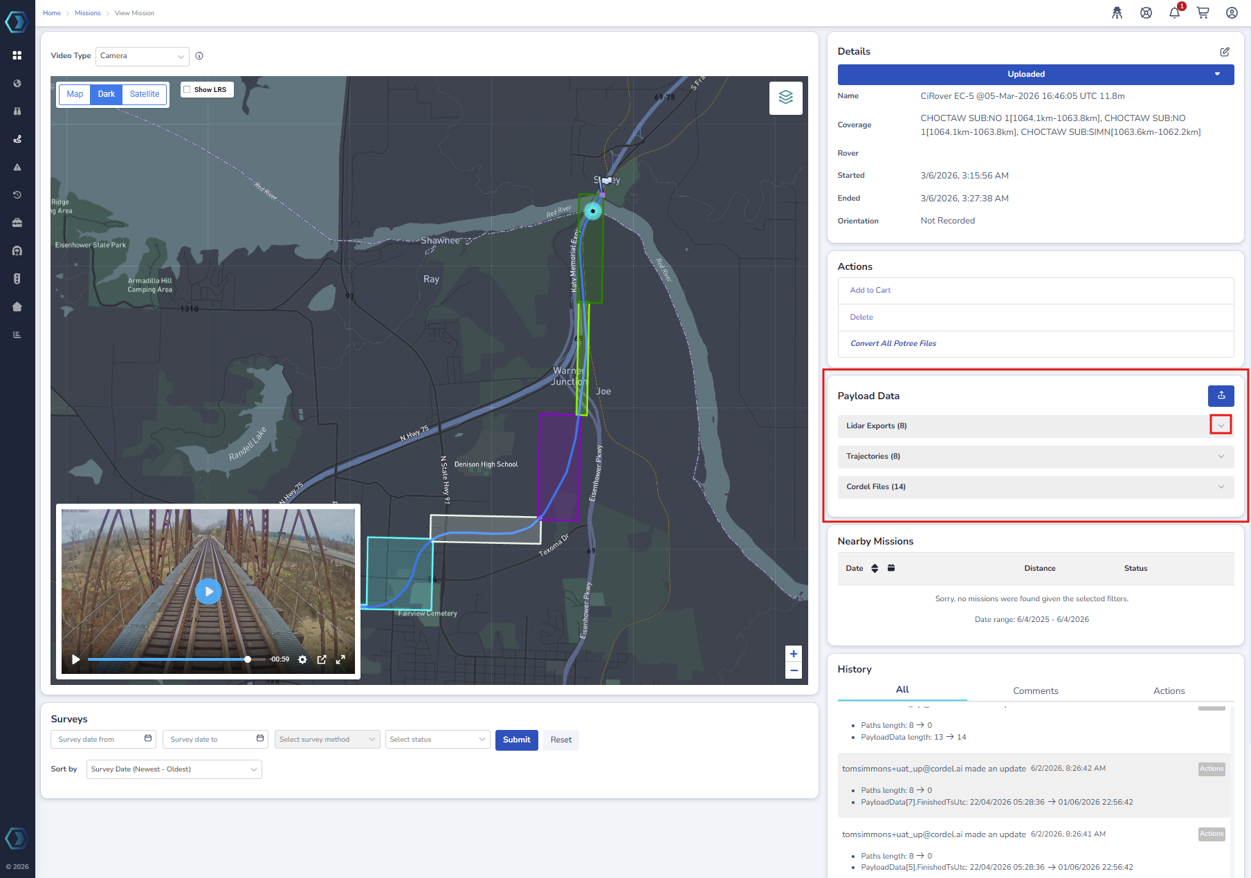
Payload Data types - Raw Data
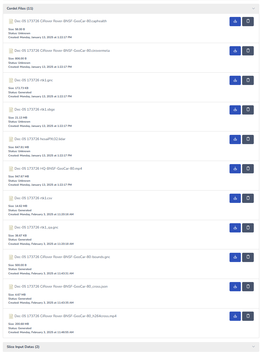
Cordel Files
Cordel Files represent raw data captured as standard for every mission. Cordel Files are available regardless of a missions processing status.
Typically, Cordel Files include:
-
A .cirovermeta file: A meta file that describes the associated files to this mission
-
A .lidar file: the recorded lidar data
-
.laz files: the compressed lidar point cloud files.
-
An .anpp file: this is the recorded IMU and GPS data
-
an .mp4 file: if the rover was equipped with a camera, this will be the camera footage
-
A *_cross.mp4 file: this is a video of 1m cross sections of lidar data.
-
*_qa.kml files: A google earth pro compatible file for viewing the path of the survey rover.
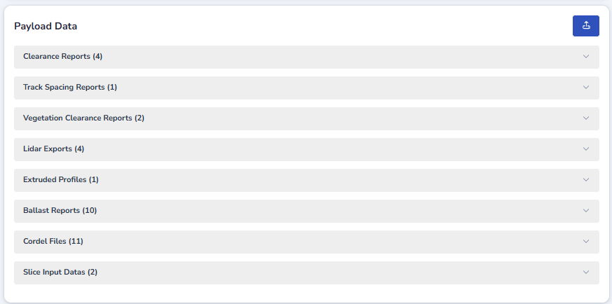
Payload Data types - Processed Data
The processed data available will depend on the solution/s included in your contract. The majority of Cordel solutions are run against a single dataset - ie. capture once - measure ballast volume, vegetation encroachment, clearance assessments etc.
How To Download Payload Data
To download the data click the download icon on the required file/s.