What is the LiDAR Viewer?
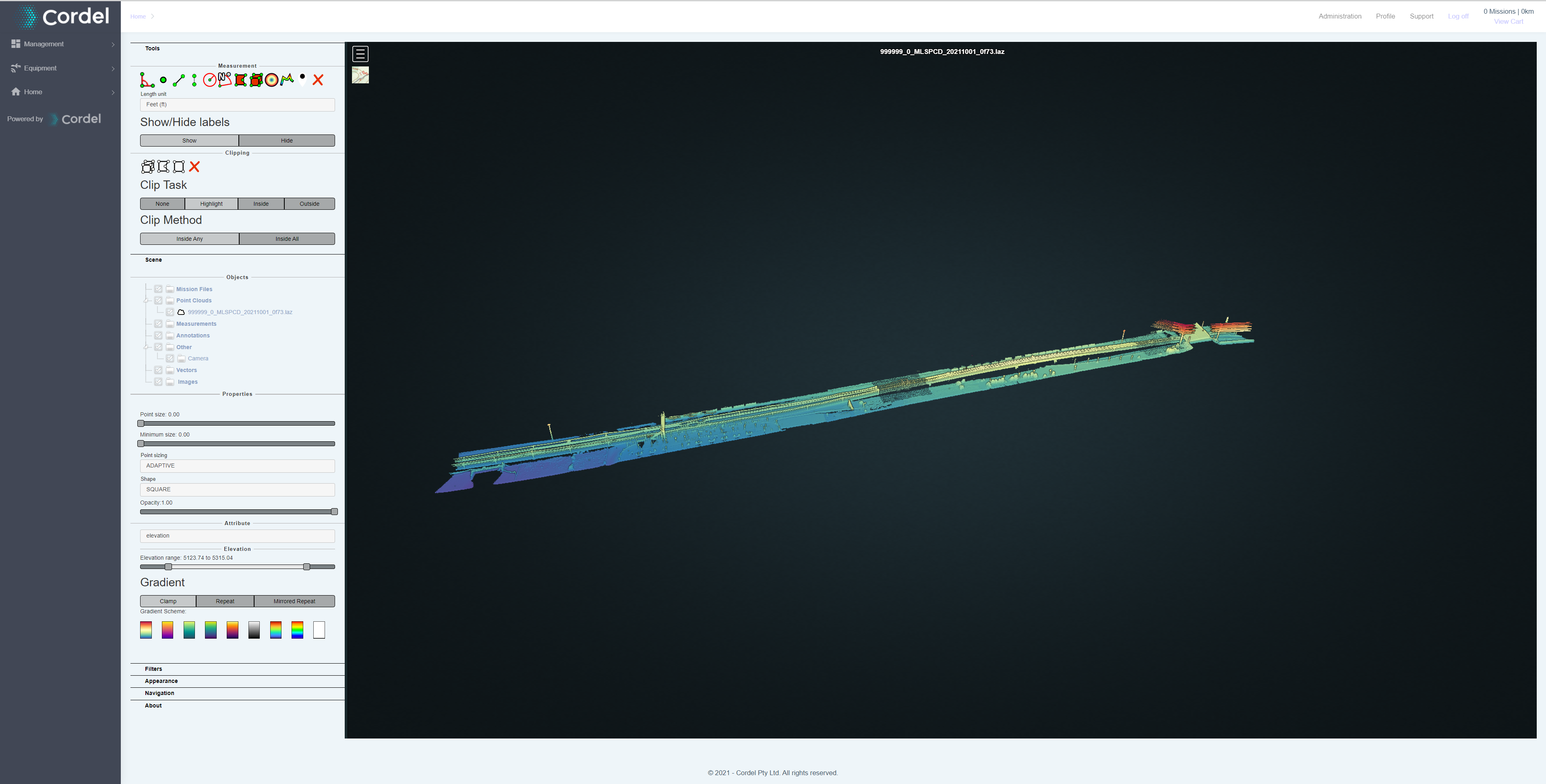
The LiDAR Viewer renders and displays interactive point clouds in the Cordel Connect platform, enabling real-time digital site inspections.
The LiDAR Viewer allows users to explore point cloud data from different perspectives as well as providing valuable insights with a range of measurement tools such as distances, height, area and volume.
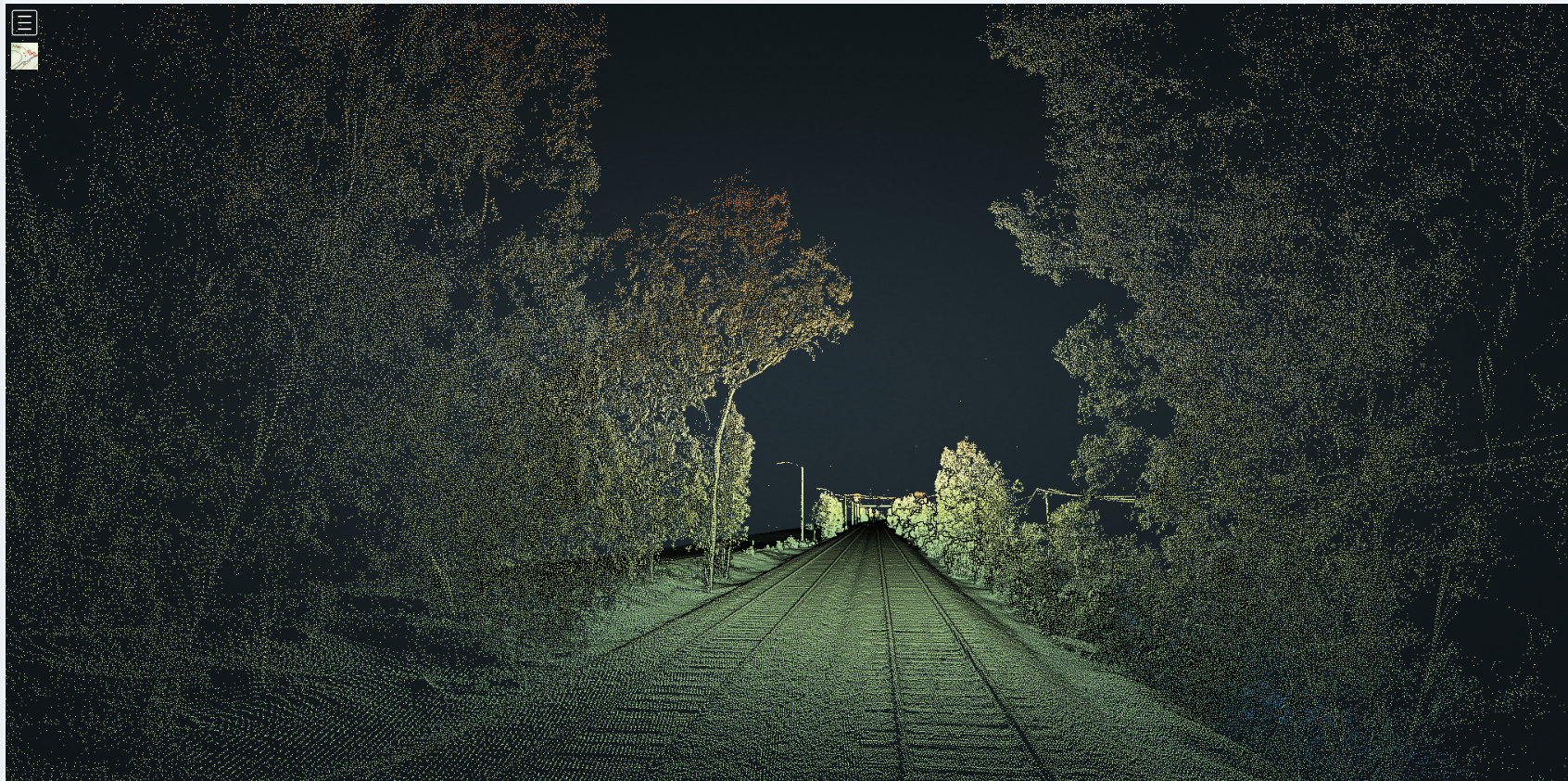
Users are able to inspect the kinematic envelop and its proximity to surrounding structures and elements visually, assisting safety engineers to swiftly and accurately assess potential compliance issues.
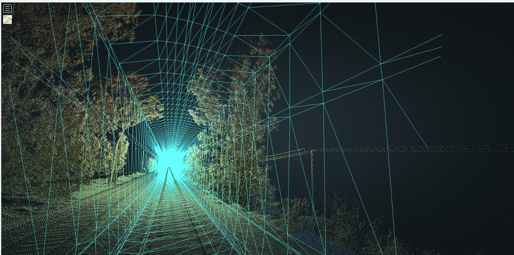
Some solution-specific LiDAR files are included - for example a vehicle profile (.PLY) file is included in the Kinematic Infringement solution, that allows users to digitally compare a vehicle to the surrounding point cloud for additional context and visual information:
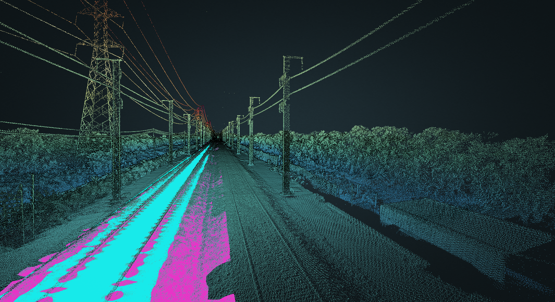
Another solution-specific LiDAR artifact is provided as standard as part of the Ballast Profiling Solution, which includes mesh (.PLY) files for the ideal ballast and measured ballast profiles.
In this use-case, users typically overlay the ideal and measured ballast .PLY mesh profiles over the top of each other, allowing them to visually assess ballast deficiencies and exceedances at a glance:
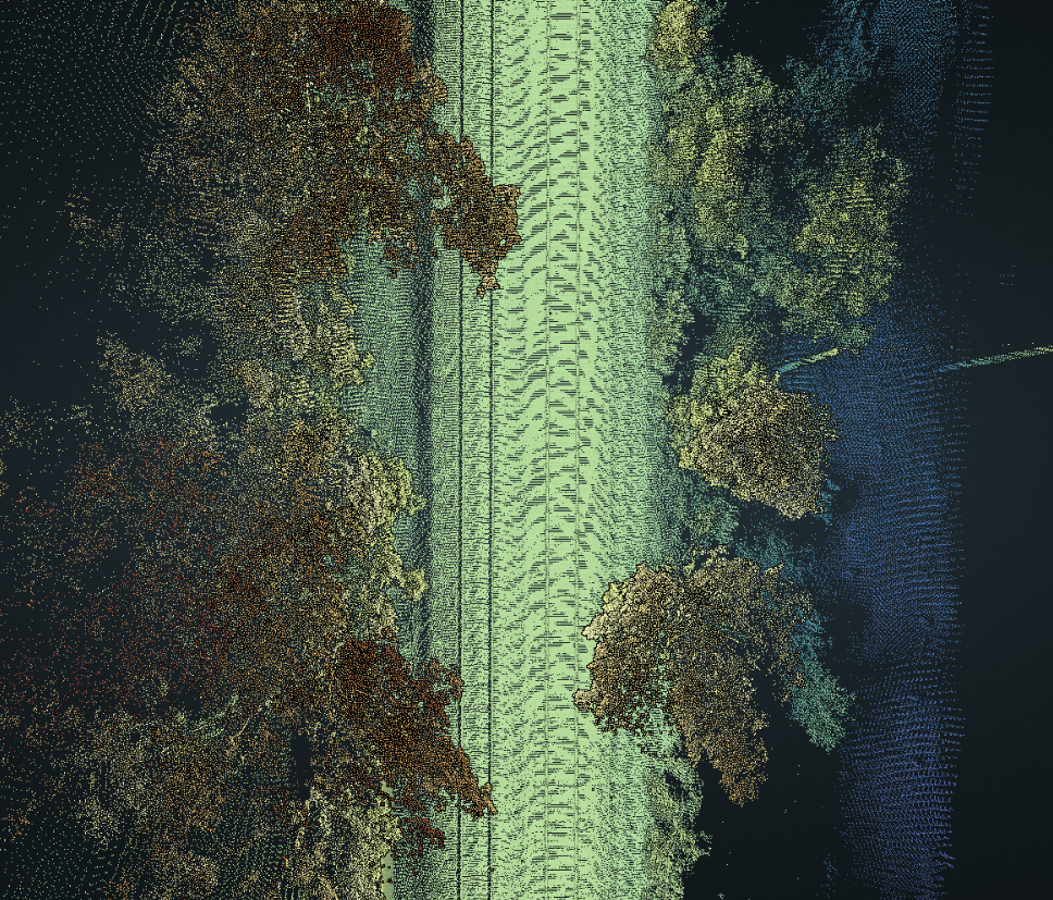
The 360 point cloud provided in the LiDAR Viewer also allows for a top down view of the scene, which is particularly useful certain use cases, such as vegetation encroachment.
How to control the camera view in LiDAR Viewer
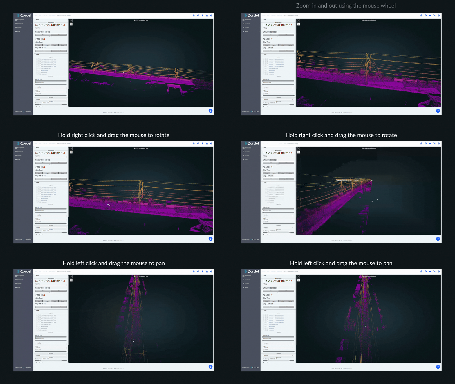
The LiDAR Viewer employs floating camera functionality to navigate each scene.
Zooming
To zoom into and out from the point cloud, use the scroll wheel in your mouse. Scroll forward to zoom in, and scroll backwards to zoom out. The zoom will be based on the point your mouse cursor is on.
Panning
To move along the current horizontal plane,
-
Hold left click
-
Drag the mouse to move the camera in relation to the point cloud.
Rotating
To Rotate the camera around the point cloud, while maintaining the current distance:
-
Hold right click
-
Drag the mouse to move the camera in relation to the point cloud.
How to use the digital measurement tools in the LiDAR Viewer
The LiDAR Viewer offers a variety of measurement tools, available in the tools section:
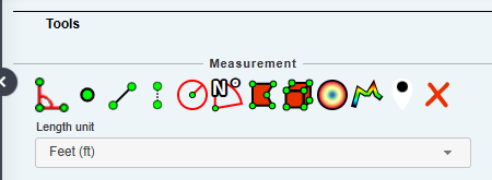
All existing measurements can be cleared using the clear icon [X]
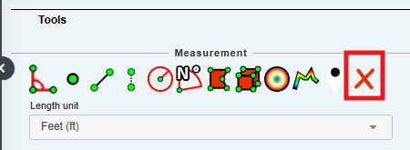
The 'clear' [X] icon will remove ALL existing measurements.
The Distance Measurement Tool
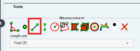
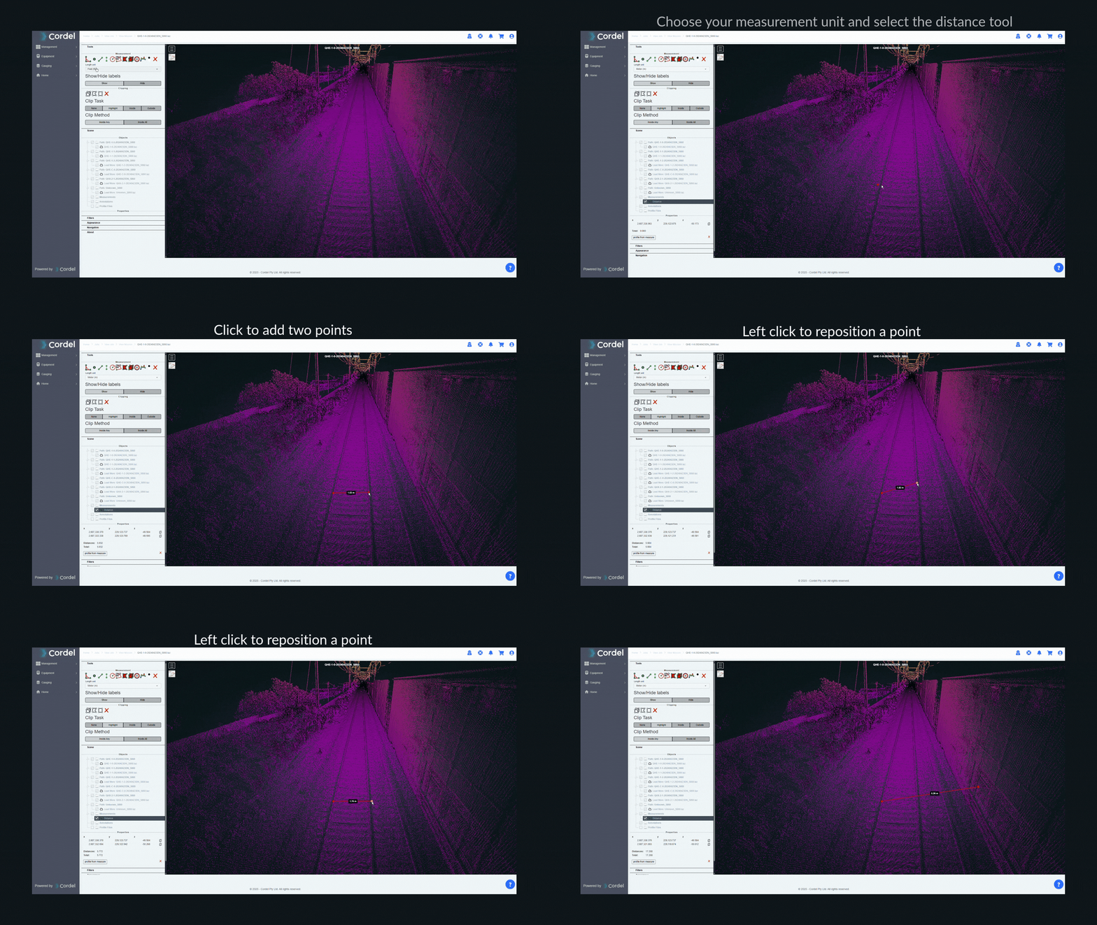
The distance measurement tool is capable of measuring the distance between two points. To use this tool, find your area of interest and right click the two points you wish to measure the distance between. Points can be adjusted by left clicking a point and dragging it to a new position.
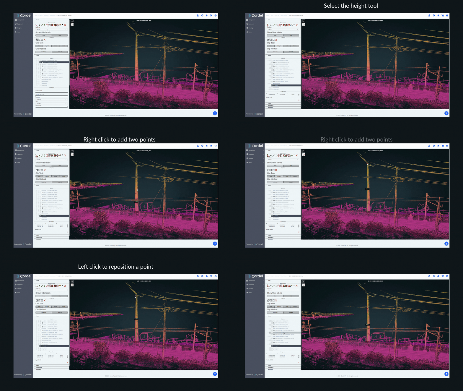
The Height Measurement Tool
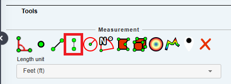
The height measurement tool is capable of measuring the vertical distance between two points. To use this tool, find your area of interest and right click the two points you wish to measure the distance between. Points can be adjusted by left clicking a point and dragging it to a new position.
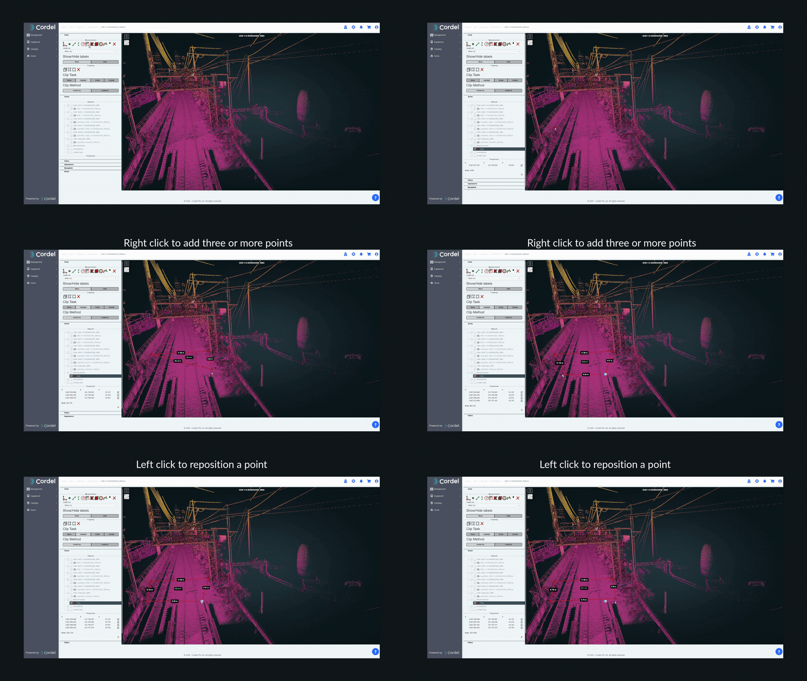
The Area Measurement Tool
The area measurement tool is shown below, and will measure the area bound by 3 or more points.
To use this tool, find the area you wish to measure and left click 3 or more points to define the area.
To adjust the defined measurement points, left click the point you wish to change and drag it to a new position.
How to colourise by elevation
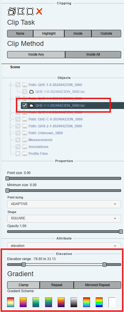
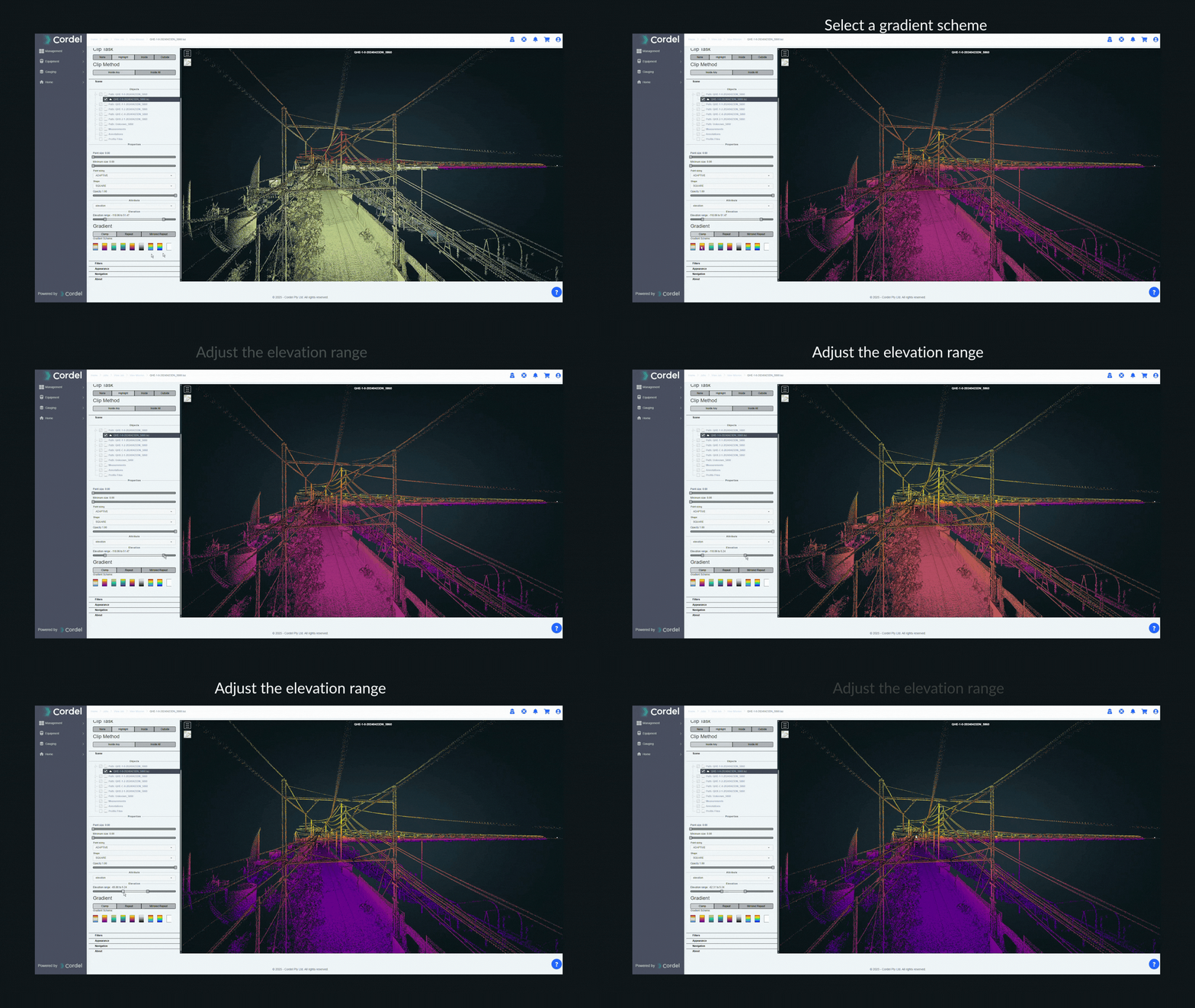
The LiDAR Viewer provides the capability to visualise elevation using gradient colourisation. To utilise this tool, select the appropriate LiDAR (.LAZ or .COPC.LAZ) from the 'Objects' section and set the elevation range. You can also utilise pre-set colour gradients in the 'Elevations' section.
The maximum and minimum sliders can be changed to get a quick reference for the objects of interest.
How to view and interact with infringements in LiDAR Viewer
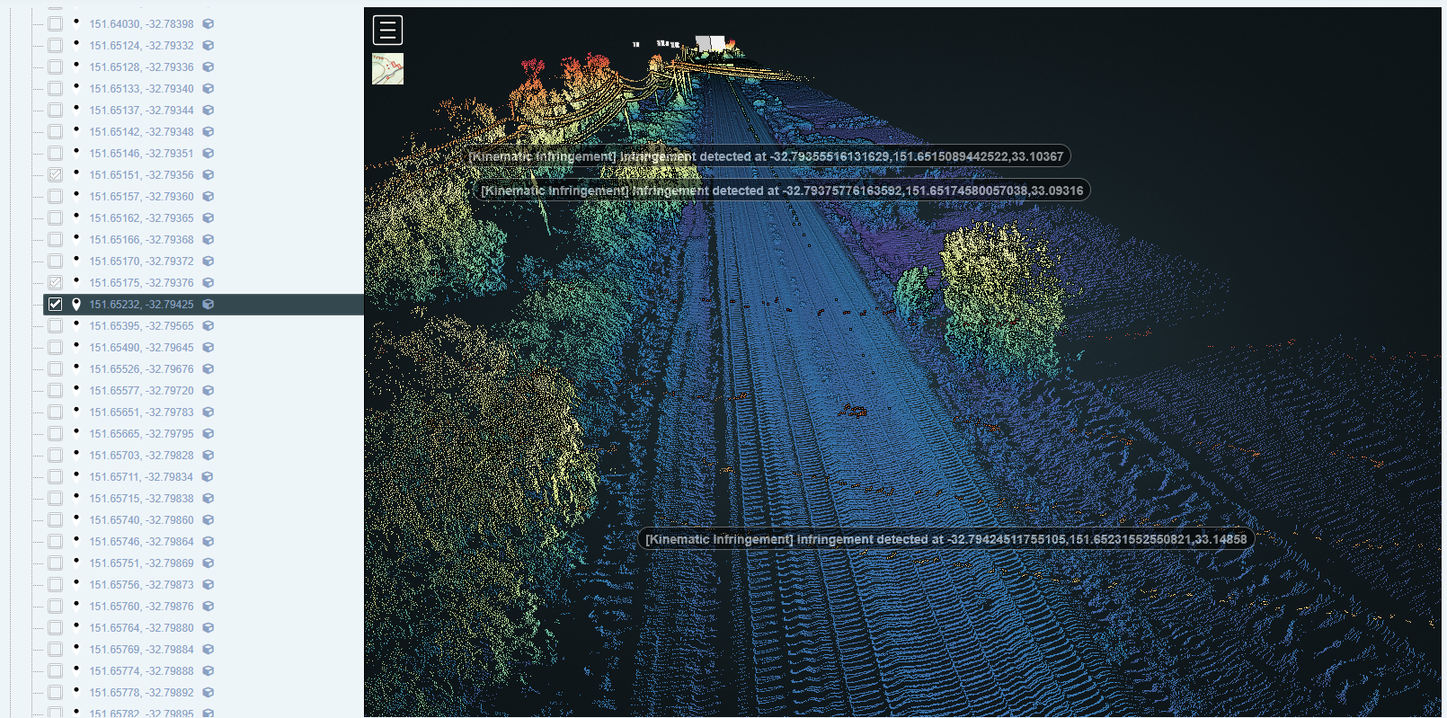
Infringement tickets are able to be displayed in LiDAR Viewer. They are plotted geospatially in the point cloud and can be toggled on/off using the check boxes in the sidebar
Infringement tickets are grouped together on the sidebar based on infringement type:
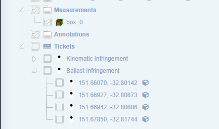
Infringement categories can be toggled on and off as a group, or tickets can be toggled on and off individually using the checkboxes.
The image-20250827-042255.png 'cube' icon shown against each infringement can be used to clip a section of track in the LiDAR Viewer, showing one or more of the infringements and the scene around them.

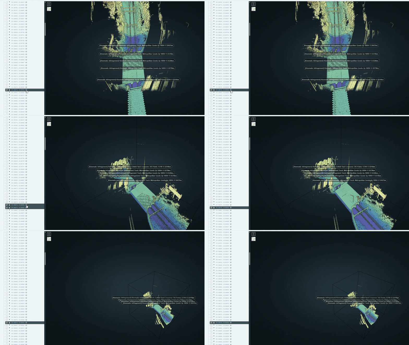
The red X in the Clipping section of the sidebar will clear the selected clip/s and return to the full point cloud view.

Double clicking an Infringement ticket in the sidebar list will relocate the user to that location in the point cloud: